Cartography:Maps
Maps of the Fair Below is a collection of high resolution maps of the fair through the years.
1901
-
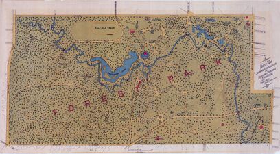
Map of Forest Park in 1901

1902
-
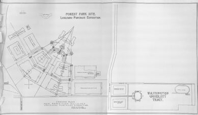
Early plan of fair showing the basic 'Fan' Design
-
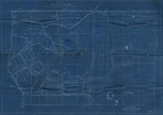
Blueprint of the fair, showing rough building placements
-
Revised ground plan of September 1902
-
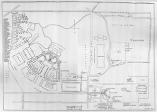
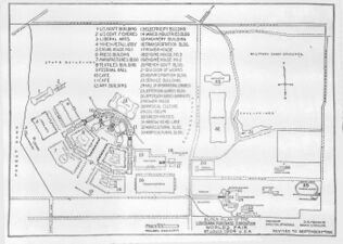
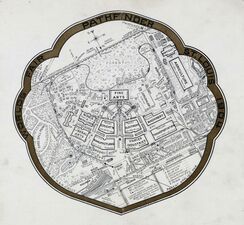
Final Ground Plan of 1902


1903

1904
-
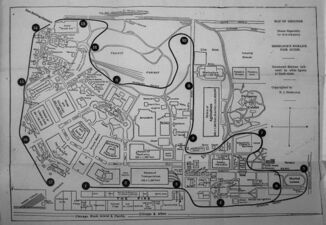
Map showing Civic features of the Fair
-
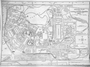
Map focused on Intramural Stops for the Sherlock Guide
-
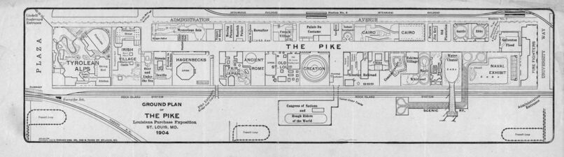
A map of the Pike from early 1904
-
The map of the fair often included with the Fair in a Nutshell.
-
-
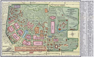
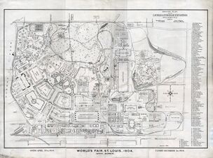
The most popular map of the fair, popularized by the Missouri History Museum
-
-
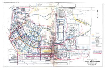
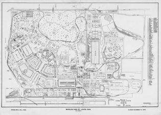
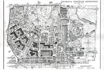
The Mercantile Map, drawn after the fair from Fair records


1972
-
Map drawn in 1972 from the Mercantile Map, with 3D elements added

2023
-
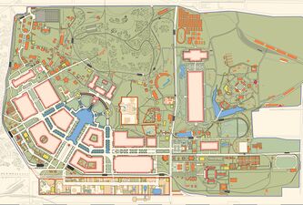
A modern view of the fair
-
A map illustrated in a vintage fashion
-
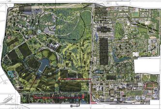
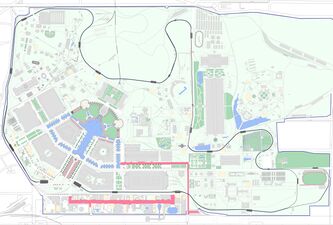
Overlay of Roads and Buildings onto Satellite Map
-
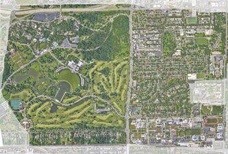
Google Satellite Map of Forest Park in 2023


